Whitaker Point Trail

(Hawksbill Crag)

Kingston, Arkansas-Buffalo National River

Thinking of taking a day hike on one of Arkansas’s most photographed hiking destinations? Whitaker Point Trail, also known as Hawksbill Crag, has some of the best views also the hike. Expect to see beautiful overlooks, a small waterfall, and large rocks to climb and take a break on while enjoying the view. In this post, I am going to give you all the insight on taking a day hike to Whitaker Point Trail.
Whitakers Point Trail Overview:

Difficulty: Moderate, going into
Hiking Distance: 2.7 miles in and out trail
Elevation Gain: 344 feet
View Points: multiple look off points on larger rocks, small waterfall, Whitaker Point

Getting To Whitaker Point

The road to the trail head is just off highway 43 on County Road 5. This is a long, winding gravel road. The road itself is narrow in places with a lot of potholes. I was driving a Tahoe and made it fine, but went very slow on the road. I seen plenty of people driving cars that sit low to the ground, but I would not recommend it. The road was pretty rough.

There is not a huge designated parking area at the trail head, but you can park along the gravel road if the parking area is full. Make sure you are mindful of others and do not block the road when parking. Both times I have done this trail, we got there around 10 am to start the hike and easily found a parking spot. By the time we finished the hike, the parking was starting to fill up more. I think the earlier you go, the better.

Whitaker Point Trail Highlights

Creeks

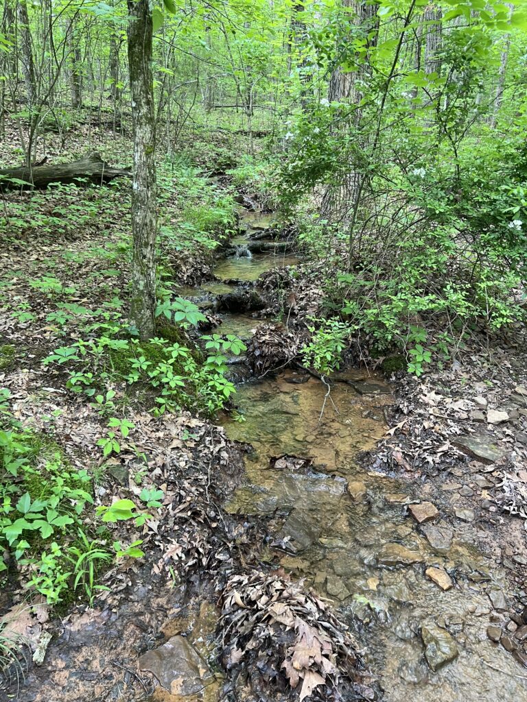
Along the trail there are a few creek crossings. They do have rocks for you to step across so you do not have to get in the creek. Plus the creeks are not deep at all.

Rock Formations

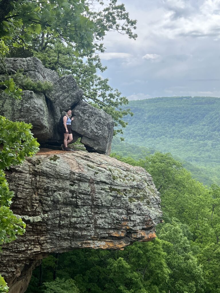
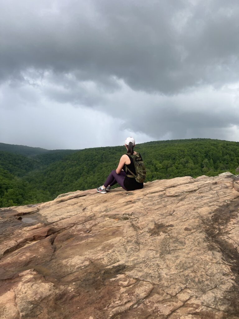
This trail has so many cool rock formations. Some of them make good seats for sitting on and enjoying the view while taking a rest break. There is also one cool rock cliff that is a waterfall during wet season. You can go down there and get to it, but expect to have to climb to get up and down from it. I have not personally tried it.

The Point

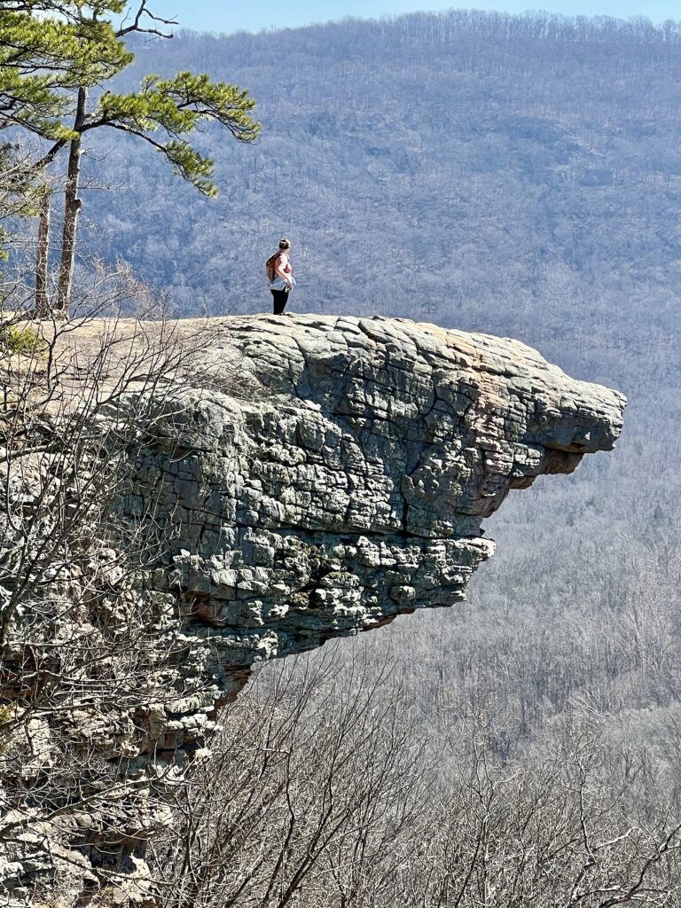
Whitaker Point is hands down one of the most photographed trails in Arkansas. The hike ends at Whitakers Point where you can take super neat pictures out on the ledge. There is a small clearing just before the point where you can take pictures of someone out on the point.

Conclusion

Overall, Whitaker Point has been one of my favorite hikes. I have done it a few times now. The hike is an in and out trail. Going into the hike, there is a lot of down hill so you will need to watch your footing. There are plenty of rocks and tree roots you can use as “stairs” to prevent falling. When you come to really steep hills, there are other paths that you can take that are more switchbacks so they’re not as steep. Going back out the trail can be difficult at times due to the hills. Don’t worry! With all the rock formations or logs off the trail, there are plenty of places to sit and take rest breaks if needed.

If you chose to take kids on this hike, please me mindful of the cliffs. Keep your children away from the edges so no falls happen. The cliffs have HUGE drop offs.

Other Useful Blog Post

Going on your first day hike? Check out what to pack for your day hike here!
Looking for other hikes in the area? Check out Lost Valley Trail here!

Scroll to Top